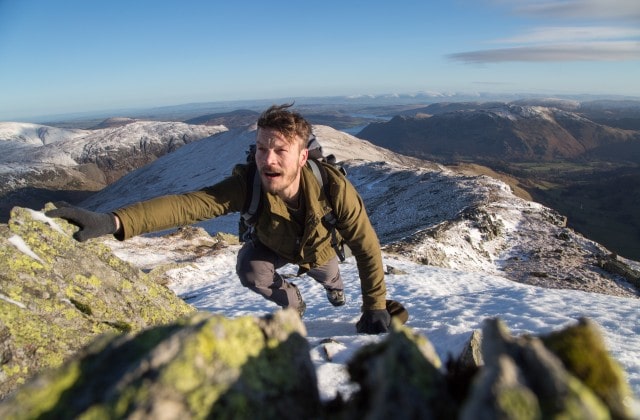
Cabot Trail is one of the best trails and a must-visit place in Canada. So the most important thing is the find the best way to travel around the Cabot Trail. This is the route guide to manage and enjoy your journey with complete the best relaxing things to do on Cabot Trail.
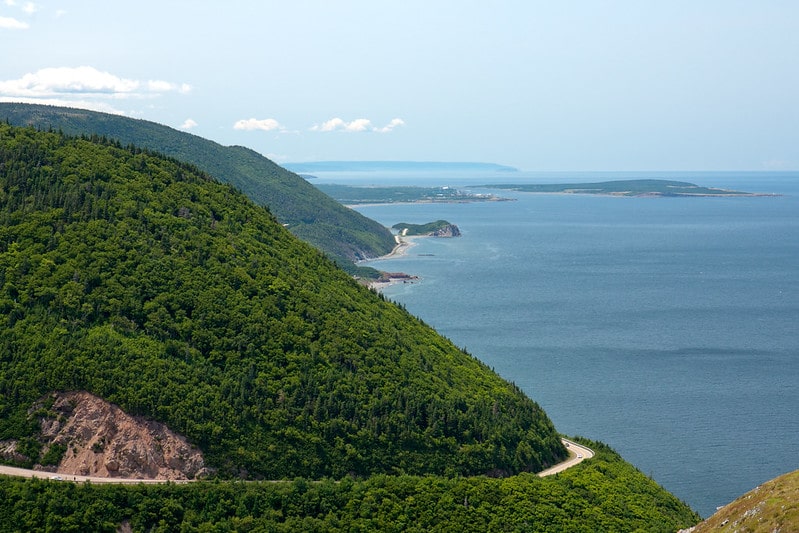
The Cabot Trail is a gorgeous highway that may be found on the island of Cape Breton in Nova Scotia, Canada. It is a loop that goes around the northern tip of the island, covering a distance of 298 kilometers (185 miles) and passing through the Cape Breton Highlands and also the Cape Breton Highlands National Park.
Ways to Travel Clockwise or Counter-Clockwise in Cabot Trail
Both directions of the Cabot Trail offer breathtaking vistas, and there are a number of pull-off areas where travelers can take advantage of walking and hiking paths, viewpoints from look-offs, and the many coastal communities that dot the route. The path that the visitor goes in will be determined by the sights that they have already planned to see before setting out on their excursion.
Clockwise
Due to my experience on the Cabot Trail, my preferred direction to travel is clockwise. On the west side of Cape Smokey, the prevailing winds are favourable for this route, and you get to ascend the mountain in a more leisurely manner.
The clockwise direction makes us feel relaxed with the sea breeze touching our faces and whole bodies.
We usually suggest clockwise you are driving in a larger vehicle (5th wheel or an RV) as clockwise makes the climbs easier. As well, this route is easier for drivers.
Some people like the feeling that they are hugging the mountains because it makes them feel safer, but I like the Cabot Trail’s scenery more when I drive it in a clockwise direction.
Counter-Clockwise
When I travel, I like to go in the opposite counter clockwise direction because it makes for a more exciting ride. As the person in charge of driving, one of my favourite parts of the trip is climbing Cape Smokey Mountain near Ingonish.
I enjoy driving up Cape Smokey because of the view that it provides over Ingonish on the way down, and I also enjoy the views that can be seen as you come around the west side of Cape Breton and get closer to Chéticamp. Because most of the pull-offs and look-offs in Cape Breton Highlands National Park will be on the right side of the road if you travel in this direction, you will also have easy access to these locations.
More on Trailoka: 20 Best Relaxing Things to do in Cabot Trail, Nova Scotia

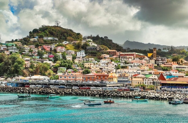
The entire Cabot Trail can be driven or biked along the coast, from the Canso Causeway to Baddeck and the Englishtown Ferry. Lonely Planet lists this as one of the world’s best bike rides. Freewheeling Adventures, a Canadian Signature Experience, is the company to choose if you want to bike the Cabot Trail.
Among my favourites are the vistas between Margaree and the National Park entry just past Champ, with a few lookouts to the right, especially the one overlooking Pleasant Bay. The Ceilidh Trail in Margaree is a great place to begin your journey to the Cabot Trail. Enjoy the journey down Cape Smokey while you’re at it. Traveling the Cabot Trail doesn’t really have the wrong path.
Where Does the Cabot Trail Start and End
You have a lot of alternatives available to you when it comes to where you may get started on the Cabot Trail, depending on whether you are coming from mainland Nova Scotia or somewhere else on Cape Breton Island. The following is a list of the Cabot Trail’s entries that receive the greatest amount of foot traffic.
- You can access the Cabot Trail from Nyanza/Baddeck at Exit 7 by driving along Highway 105, which runs alongside Bras d’Or Lake.
- You can reach the Cabot Trail from Margaree Forks by traveling from Port Hastings on Cape Breton Island via the Ceilidh Trail, which is also known as Route 19.
- St. Ann’s Bay is another starting point for the Cabot Trail (Hwy 105 Exit 11)
- Taking the Englishtown Ferry is the way to go (Hwy 105, Exit 12)
According to the chosen start location, you can decide where is the endpoint in your Cabot Trail journey.
More on Trailoka: Relaxing Things to do in Canada (Must visit places in Canada)
Bonus Tips
Best stops List on Cabot Trail

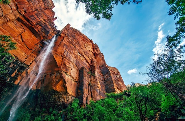
During Cabot Trail, you can find a lot of stop points according to your needed and choices. We list some collections of Trails, National Parks, Galleries, Campgrounds, Markets, Cafes, Lodge & restaurants, resorts & Spa, Gift Shops, and so on.
- Black Brook (Refreshing jump in the waves, short hiking trail, and waterfall )
- Cape Breton Island’s southernmost tip is Meat Cove (exit the Cabot Trail at Cape North)
- Franey Trail (more challenging hike)
- Hike or walk the Skyline Trail (easy and stroller and wheelchair accessible) in the Cape Breton Highlands National Park.
- Hide Away Campground & Oyster Market
- Chéticamp, La Boulangerie Aucoin Bakery and Frog Pond Cafe
- Sunset Art Gallery
- Find local beer from Big Spruce Brewing in Nyanza
- St. Ann’s Gaelic College / Great Hall of the Clans
- Whale Interpretive Centre
- Ingonish
- Destination Cape Smokey
- Keltic Lodge Resort & Spa
- Les Trois Pignons
- Flora’s Gift Shop
- Baddeck
- Lake O’Law Provincial Park
- Alexander Graham Bell National Historic Site
- The Dancing Goat Cafe & Bakery
- Centre de la Mi-Carême
- The Doryman Pub & Grill
- Coastal Restaurant & Pub
- Highlands Links
- Rusty Anchor
- Le Gabriel Restaurant & Lounge
- Uisge Bàn Falls Provincial Park
- Kingross Quilts and Fibre Arts
- Leather Works by Jolene
Take only memories, leave only Footprints
Feature image credit Andrea S-min, flickr.com